Commonwealth-MCP
Case study · Policy
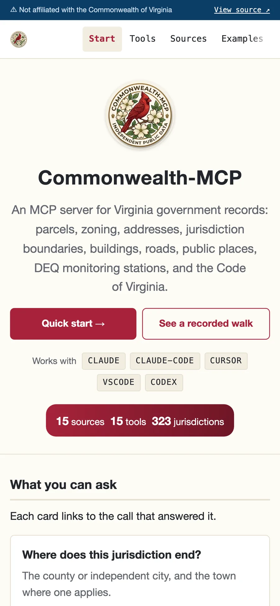
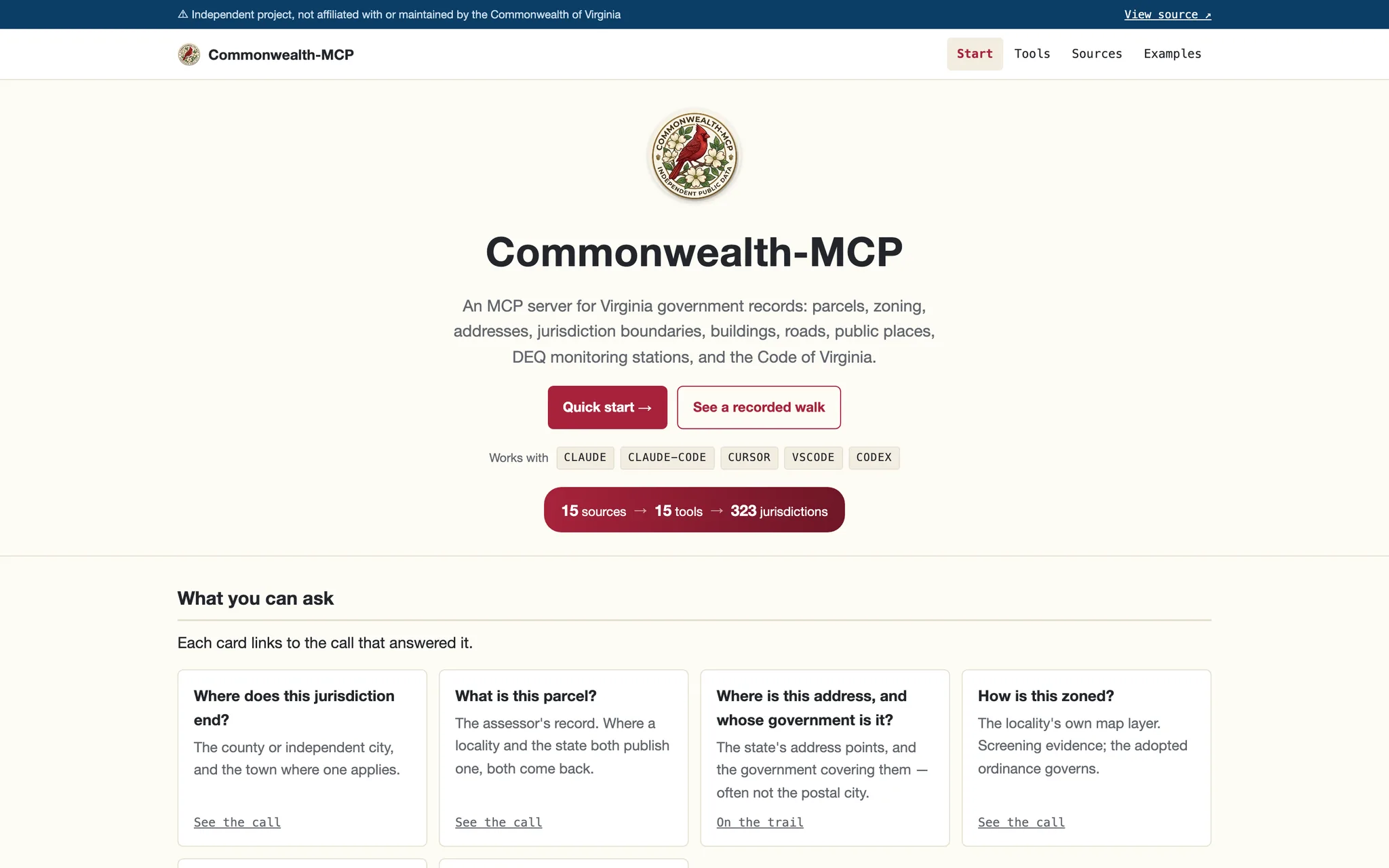
133 counties and cities, each publishing records its own way — resolved once and exposed as one MCP server.
- What
- Which government covers an address, what a parcel record says, how it's zoned, and what the Code of Virginia says — with a source and a fetch date on every answer.
- Stack
- Python MCP server; each locality's data source registered and typed once, then queried live.
- Status
- LIVE
- Dates
- Published August 2026 · Updated September 2026
- Links
- Live site · Source code
Background
Which government actually covers this address, and how is this parcel zoned?
Virginia's 133 counties and independent cities each publish records their own way: different software, field names, and reuse rules. Answering "how is this parcel zoned" means working that out locality by locality. Commonwealth-MCP does it once and exposes the result as a read-only MCP server, so Claude, ChatGPT, Cursor, or VS Code can ask a plain question and get a sourced answer back.
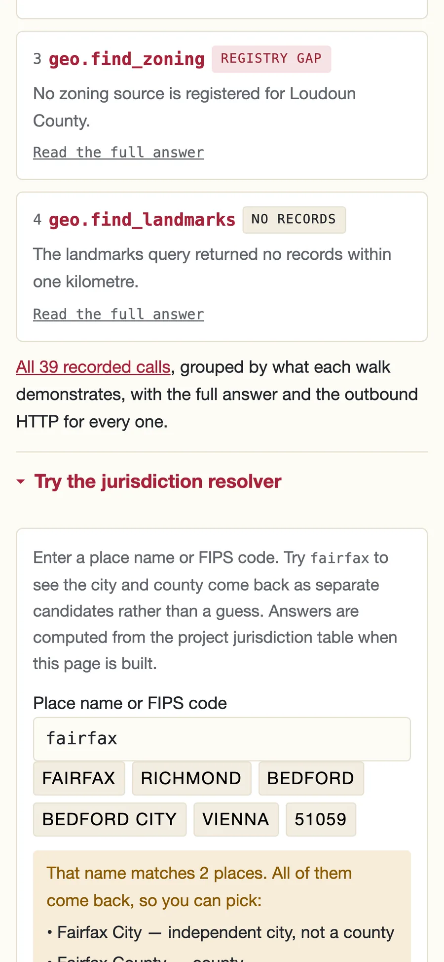
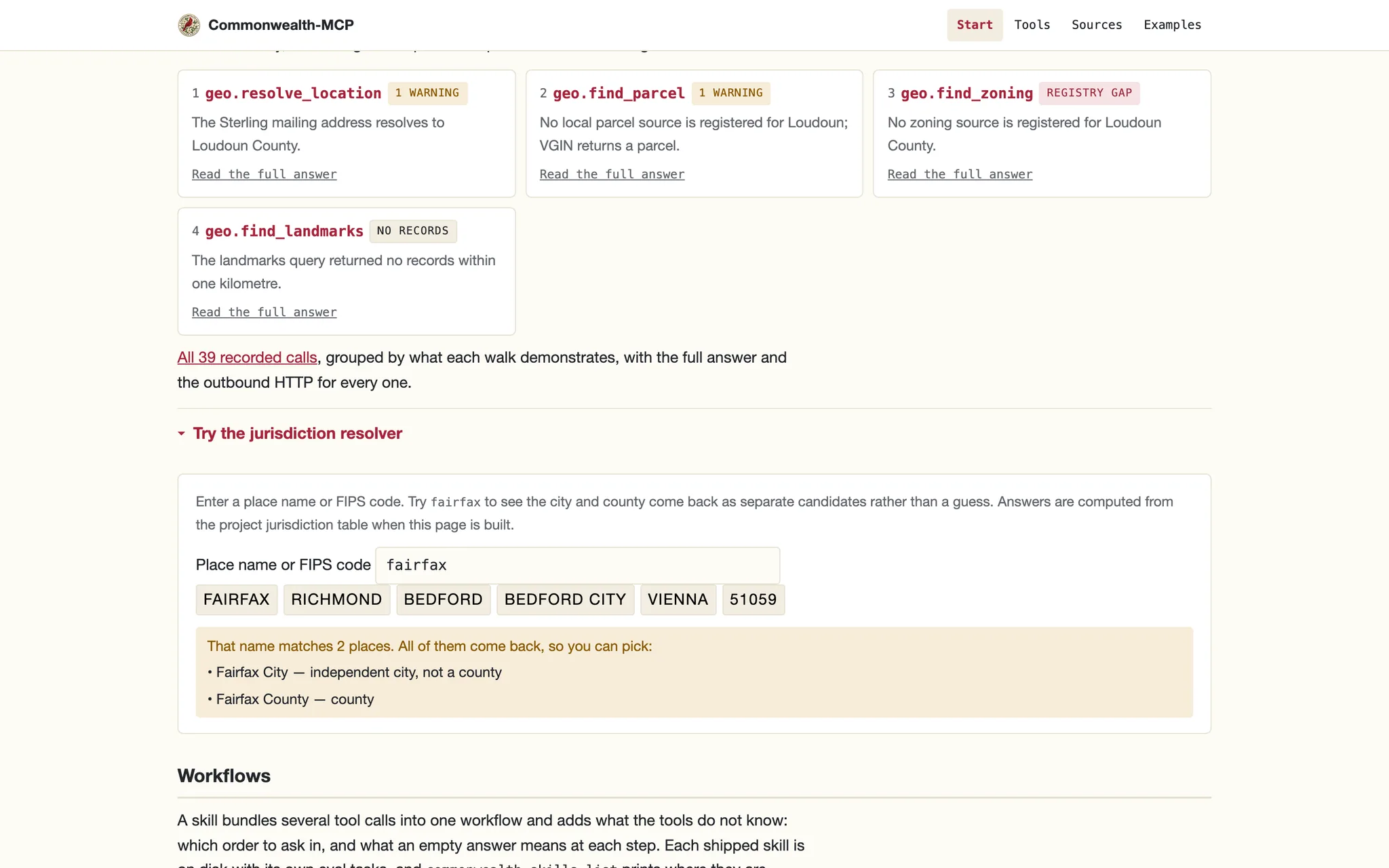
Every answer says which system produced it, when it was fetched, and what wasn't checked. "Alexandria, VA 22310" resolves to Fairfax County, because a mailing address isn't a government. "Fairfax" returns the city and the county both. A zoning district read off a GIS layer is labeled screening evidence; the ordinance governs.
A Look Inside
Each view shown on mobile and desktop — tap any image to open the live site.
How It Works
A jurisdiction table covers all 133 localities and 191 towns, so any name or coordinate finds the right government:
- Jurisdiction lookup by name, FIPS code, street address, ZIP, or coordinates; a ZIP spanning several localities returns all of them.
- Parcels and zoning from Fairfax County, Richmond City, and Charles City County directly, with VGIN's statewide layers everywhere else.
- Code of Virginia full-text lookup by section, pulled from the state's own site with a link to the live page.
- Two kinds of empty: an answer says whether nothing matched, or whether no source is registered for that place at all.
Most localities still have no source of their own registered; finance, infrastructure, environment, and people are sketched and not built.